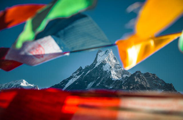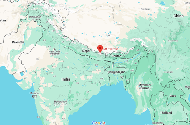


Mount Everest is located in the Himalayas, a mountain range in Asia, straddling the border between Nepal and the Tibet Autonomous Region of China. It’s situated in the Mahalangur Himal subrange of the Himalayas. The peak itself is primarily within Nepal’s Sagarmatha National Park, a UNESCO World Heritage Site, while its northern slope extends into Tibet, China.
Mount Everest, known as Sagarmatha in Nepali and Chomolungma in Tibetan, is the highest peak on Earth. Its precise geographic coordinates are approximately 27.9881° N latitude and 86.9250° E longitude.
The summit of Mount Everest reaches an awe-inspiring elevation of 8,848.86 meters (29,031.7 feet) above sea level, hence making it the tallest peak globally.

Mount Everest on the map
The southern part of Mount Everest lies within Nepal’s Sagarmatha National Park, a UNESCO World Heritage Site known for its diverse flora, fauna, and unique cultural heritage. The northern face of the mountain falls within Tibet, China.
Mt. Everest holds an iconic status in mountaineering, drawing adventurers and climbers from around the world seeking to conquer its formidable slopes. The trek to Everest Base Camp, located at approximately 5,364 meters (17,598 feet), is a popular and challenging expedition, offering stunning views of the mountain and the surrounding Himalayan peaks.
ALSO READ: Where is Dubai?
The extreme altitude, unpredictable weather conditions, and treacherous terrain make climbing Everest an exceptionally demanding and dangerous endeavor. Despite the risks, reaching the summit remains a coveted achievement among mountaineers.
Mount Everest’s sheer magnitude and challenging ascent have captured the imagination of people worldwide, making it a symbol of human determination, exploration, and the relentless pursuit of greatness in the realm of adventure and exploration.